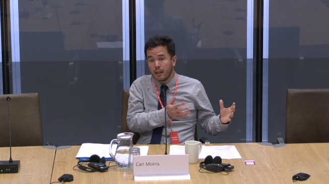
Today I had an opportunity to present evidence to a Senedd committee for the first time.
It was a great experience in many ways, and I was very happy to discuss technology and the Welsh language.
Today I had an opportunity to present evidence to a Senedd committee for the first time.
It was a great experience in many ways, and I was very happy to discuss technology and the Welsh language.
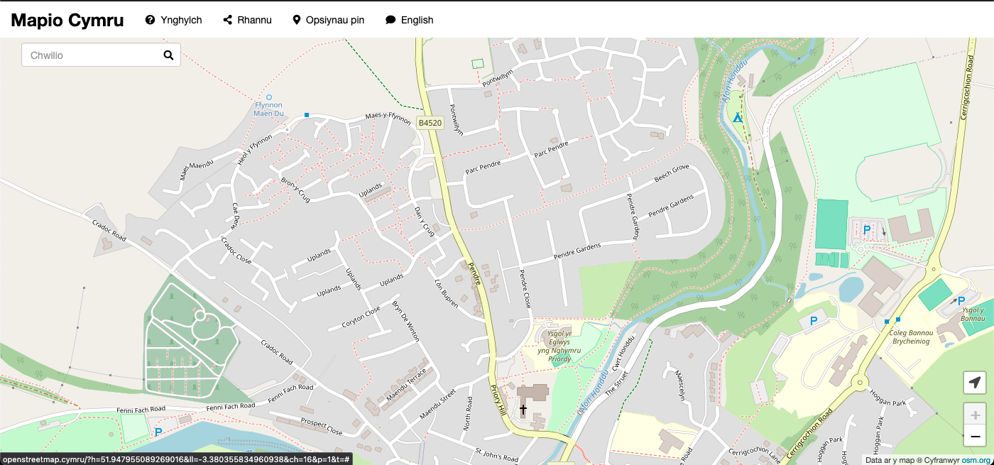
Here’s an enlightening blog post by Ben Proctor my co-member of the Mapio Cymru project team, all about street name data from Ordnance Survey. This should be of huge interest to anybody who contributes to OpenStreetMap:
A key objective of the Mapio Cymru project is to help increase the amount of names in Cymraeg (Welsh language) held by OpenStreetMap as open data, as a resource to support mapping apps and services available in Cymraeg in the future.
The biggest single gap in name data in OpenStreetMap in Cymru (Wales) is road names that should be used in Cymraeg.
[…]
Through analysing the data available in the OS Open Roads product Ben has reached the conclusion that as a data set it’s good enough to use:
[…]
Having broken down these various differences we concluded that the OS Open Roads dataset is a good enough source for human editing. An editor reasonably familiar with road names in Cymraeg would be able to detect many of the problems and resolve them correctly.
[…]
This is a test item. I am looking at the ActivityPub feed of this blog, which enables you to follow my posts using Mastodon and other services.
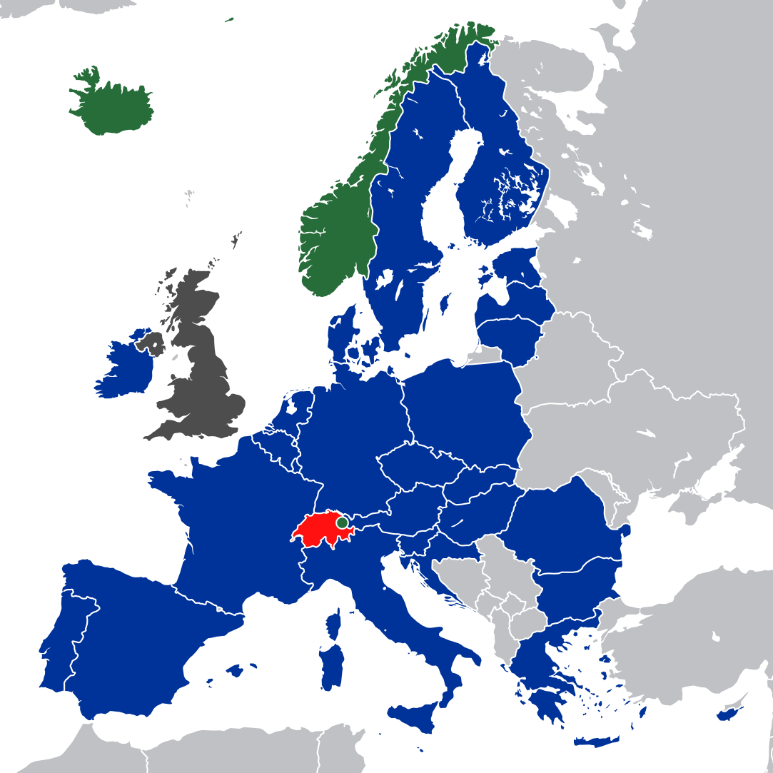
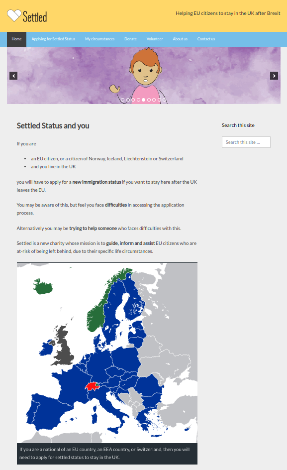
I’ve built a website for a brand new charity called Settled.
The charity helps people who need to make settled status applications to the Home Office to stay in British countries after Brexit.
The process is complicated and confusing already, and there are many of other factors which make things even more challenging like the life circumstances of the people applying.
The first version of the website is in English only with many languages to come very soon. There will also be a means to browse listings of face-to-face sessions, and a platform for volunteers with the charity as well.

Whether you live, work or are visiting Cardiff this new service brings you timely travel information:
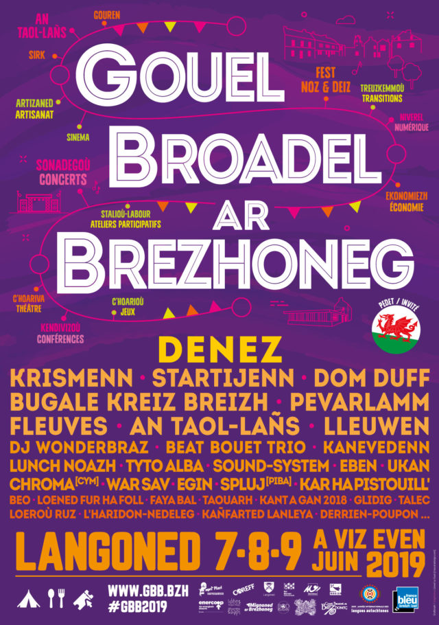
This weekend I’ll be taking part in Gouel Broadel ar Brezhoneg which will be an event held in Langoned, Brittany.
There are two things on my schedule:
I am looking forward to learning a few more rudiments of the Breton language, which has some similarities to the Welsh language, and practising during my time there.
Google and Bing do not offer a machine translation service for the Breton language but there is a basic machine translation service through Apertium.
Hedyn.net has a new skin, Pivot, mainly because it has a responsive design and the previous one, Vector, does not. In other words it responds to screen sizes from laptop/desktop down to the smallest mobile phone.
I’m not sure why Wikipedia still runs Vector and continues to offer separate mobile and desktop versions. That’s another story.
If you want to check if a website design is responsive, just visit from a phone or tablet and compare it to laptop. Alternatively change the shape and size of the browser on your laptop and watch what happens..
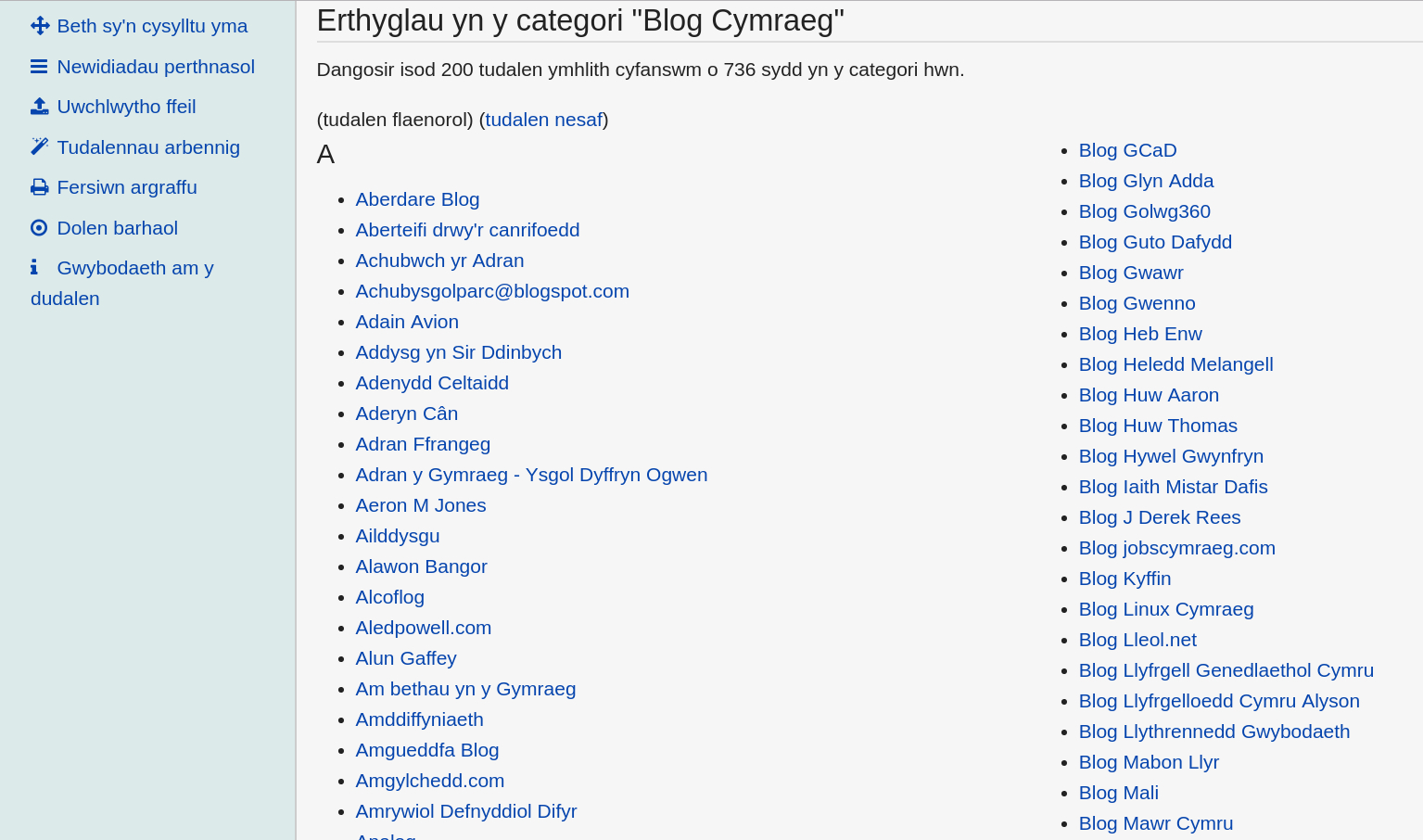
Hedyn.net is a wici which has been running continuously for nine years to provide a knowledge base for Welsh-language web resources, e.g. a list of blogs in Welsh, ideas and planning for Hacio’r Iaith unconference events, and WordPress resources for website developers.
I visit Hedyn.net several times each week to access resources and look things up. Contributions are always welcome in the form of edits. I’m also trying to do more notetaking there as public-by-default, especially things which have no need to be kept private.

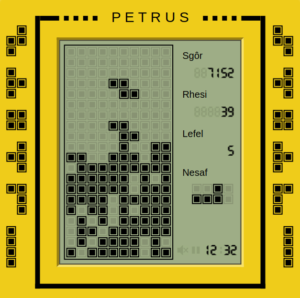
Petrus is a brand new game, which is very addictive.
(Well, when I say ‘new’ I mean new adaptation of an old favourite…)
It should work on mobile phones as well as personal computers, etc.
It’s a Welsh-language adaptation of a game by Github user Chvin, which in turn is based on the original concept by Alexey Pajitnov and Vladimir Pokhilko.
It’s been an opportunity for me to practise version control in Git, and look at the React library for the first time.
Petrus is the second game in an occasional series. More to come soon!


Here’s a browser-based game for you to enjoy, Pŵl Cymru.
It is a Welsh-language adaptation of a game by Chen Shmilovich, and works on computers only. It won’t work on phonees or mobile devices.
If you’re not fluent in Welsh then you will probably figure it out. 🙂
Diolch i’r rhai sydd eisoes wedi ei phrofi, ac i Chen Shmilovich am ddatblygu’r gêm yn y lle cyntaf. / Thanks to those who have already tried it, and to Chen Shmilovich for developing the game in the first place.
The code is on Github. I learned a bit about creating games in JavaScript during the process of adapting and translating it.. There is a complete book about the subject and plenty of other resources online.
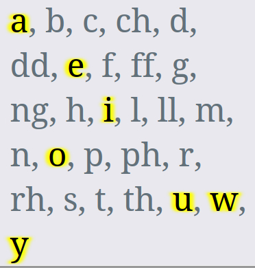
Yn cyflwyno’r Welsh Language Vowel Locator.
This new web app is a fun way to learn that there are vowels in the Welsh language, despite what some online commentators insist!
It’s another one in the occasional series #GorauArfArfDysg.
Here are some of the recent tweets:
do u require help tracking down welsh vowels https://t.co/D7t8kE2PNG
— Elena Cresci (@elenacresci) February 20, 2018
No more comments about the lack of vowels in the Welsh language … ever!https://t.co/7BJv2jp1FH
— Dilwyn Roberts-Young (@DilwynRY) February 21, 2018
Note to anglophones, ‘w’ and ”y’ are vowels in Welsh. In fact, we fail to see how they can be anything other than vowels.
I mean, how can you possibly see or hear ‘w’ (oo, u in English) & ‘y’ (the schwa) as consonants? No really, how? 🤔
‘h’ also sometimes counted as vowel https://t.co/DEO55h2qGy
— Siôn Jobbins (@MarchGlas) February 20, 2018
This is genius, for all those who struggle to find vowels in written Welsh, struggle no more with this handy Welsh vowel locator!
Words like cychwr, mwgwd, and ysbryd need not perplex you any longer, help is at hand! https://t.co/BIvpxbSho1— Antwn Owen Hicks #FBPE (@Pibydd) February 21, 2018