Mapio Cymru and street names in OS Open Roads

Aberhonddu/Brecon on Mapio Cymru

Here’s an enlightening blog post by Ben Proctor my co-member of the Mapio Cymru project team, all about street name data from Ordnance Survey. This should be of huge interest to anybody who contributes to OpenStreetMap:

A key objective of the Mapio Cymru project is to help increase the amount of names in Cymraeg (Welsh language) held by OpenStreetMap as open data, as a resource to support mapping apps and services available in Cymraeg in the future.

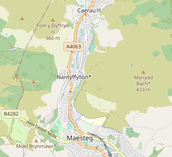
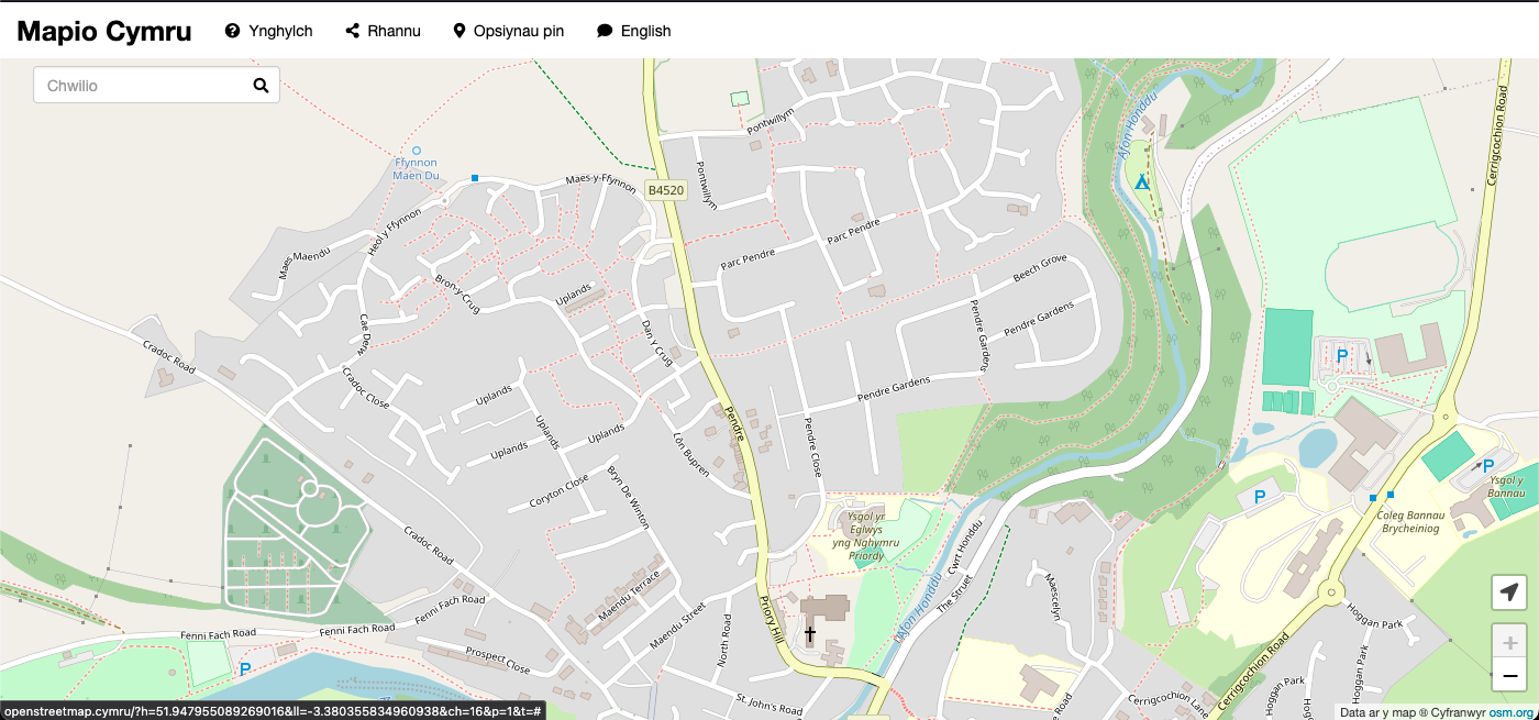
The biggest single gap in name data in OpenStreetMap in Cymru (Wales) is road names that should be used in Cymraeg.

[…]

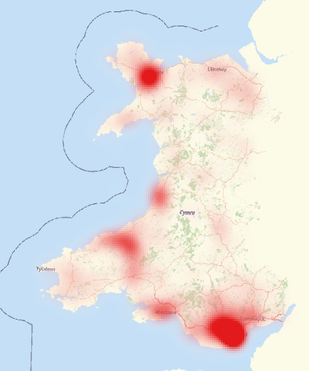
Through analysing the data available in the OS Open Roads product Ben has reached the conclusion that as a data set it’s good enough to use:

[…]

Having broken down these various differences we concluded that the OS Open Roads dataset is a good enough source for human editing. An editor reasonably familiar with road names in Cymraeg would be able to detect many of the problems and resolve them correctly.

[…]

Read more: Improving road names in Cymraeg mapping in Cymru

New experimental map from Mapio Cymru – improving mapping in Welsh one place name at a time

As part of my work on the Mapio Cymru project I’ve provisioned a new experimental map server.

Like the main map it shows a map with place names in Welsh. The difference now is that it provides a symbol next to every place name to show which data source was used. This should help anybody who wants to contribute place names in Welsh, participate in the project, and ultimately improve mapping in the Welsh language.

Read my blog post on Mapio Cymru for more details.

Improving Welsh-language digital mapping and navigation

As a freelance web developer I always enjoy working on Mapio Cymru, and it’s an opportunity to bring together some of my interests: free software, open data, maps, and the Welsh language.

The project has grown from the experimental map with names in Welsh. We are now helping a couple of organisations to offer mapping services in Welsh.

One of those organisations is Trafnidiaeth Cymru / Transport for Wales.

Here’s Ben Proctor from the project with some details of our consultancy work for TfW:

Transport for Wales asked us to undertake a piece of research for them. They wanted to know how they could build online mapping applications that treated Welsh and English language equally.

We’ve been thinking about these issues for several years and we maintain a Welsh language map of Wales at openstreetmap.cymru This, however, was a real opportunity to think about these questions from an organisation providing public transport services across Wales. We’ve produced a report for Transport for Wales which has a lot of detail in it and is very focused on their specific circumstances. […]

Read the full blog post by Ben.