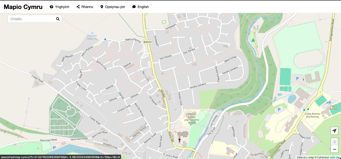
Here’s an enlightening blog post by Ben Proctor my co-member of the Mapio Cymru project team, all about street name data from Ordnance Survey. This should be of huge interest to anybody who contributes to OpenStreetMap:
A key objective of the Mapio Cymru project is to help increase the amount of names in Cymraeg (Welsh language) held by OpenStreetMap as open data, as a resource to support mapping apps and services available in Cymraeg in the future.
The biggest single gap in name data in OpenStreetMap in Cymru (Wales) is road names that should be used in Cymraeg.
[…]
Through analysing the data available in the OS Open Roads product Ben has reached the conclusion that as a data set it’s good enough to use:
[…]
Having broken down these various differences we concluded that the OS Open Roads dataset is a good enough source for human editing. An editor reasonably familiar with road names in Cymraeg would be able to detect many of the problems and resolve them correctly.
[…]