The aim of the Mapio Cymru project is to improve the next generation of Welsh-language mapping services, and for me it’s been among the best work projects ever for learning new things – about open data, GIS, a dev skills.
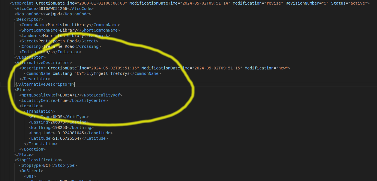
On the project blog I wrote a post about changes to NaPTAN which is a big list of transport points including bus stops and railway stations.
